Navigation:
FOSS4G 2015 |
Workshops |
Day 1 |
Day 2 |
Day 3 |
CodeSprint
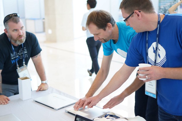
A bit of a slow morning as jet lag finally kicks in! This provided me with a great chance to hang out at the Boundless table and meet people (and prepare for tomorrow's talks).
Presentations
The second day continued the relaxed (for FOSS4G) pace:
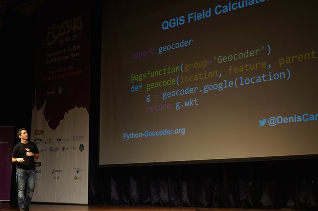
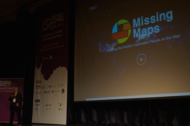
- Inpromptu Lightening talksLightening talks are always a good time, presenters hit a range of topics (such as a preview of python geocoder talk or Kate talking about the missing maps project). The big news for me was Andrew Ross announcing Raleigh as the location of foss4g-na 2016 conference.
- Point Clouds in a Browser with WebGL - Daniel Kastl (Georepublic)
WebGL examples always offer amazing visuals, working with point clouds collecting by vehicle.
- PostgreSQL, batteries included - Olivier Courtin (Oslandia)
A good dose of what makes PostgreSQL (not PostGIS) so amazing. Crowd was really taken with the use of different scripting languages.
- New QGIS functions for power users - Marco Hugentobler (Sourcepole AG)
Highlighting Curves and quality assurance (Perhaps I can finally stop using JUMP and JCS for data cleanup).
- PDAL: the Pointcloud Data Abstraction Library - Michael Smith (US Army Corps of Engineers)
Charming as always, amusingly using Kanas as a example (which is about as flat a 3D example can get!). Anyone asking questions win a free PDAL license! And a USB bottle opener.
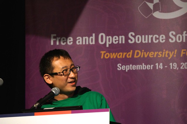
- "Migrating" from Google Earth API to Cesium - Hidenori Watanave (Tokyo Metropoitan University)
At one level this talk simply highlights a danger of working with a single vendor, especially for archival work such as this important project. It is a great that migration to CesiumJS went so smoothly well and speaks well for the Cesium team. It is a bit scary that migration from KML to CZML mean this archive now has "project lock-in". This was a heartbreaking dataset being used to show case technology.
I was honoured to talk with Hidenori Watanave, and hope he can work with OGC's new community standard and keep the long term view in mind. The project is after all being built for "forever" (lest we forget)
Annual General Meeting
A really cheerful meeting, sorry Jeff I could not wait for you :)
- Incubation committee had to restructure (refresh the membership list). New projects added, gvSig really really close!
- GeoTools - thanks to the board for helping with CodeHaus JIRA shutdown
- GeoServer - once again thanks for help with Jira, some discussion on responsible disclosure and the advent of a private security email list.
- Lots of other friendly updates from groups near and far ... OSGeo is a cheerful place to be after all
Evening KeyNote
The evening keynote once again found everyone gathered into Ballroom B:
- Paul once again dazzled the crowd with a thoughtful talk on the long-term trends of open source. Good news: we won! Bad news: with the move to the cloud less of us will be needed.
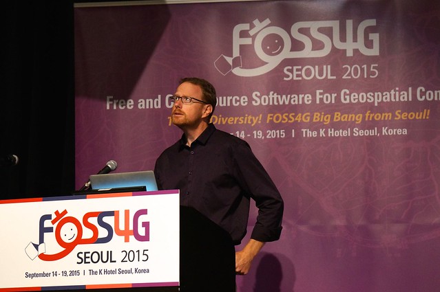
- Discussion on the rise of QGIS focused on the Bazaar as the key success factor. With other desktop GIS system being driven by the Cathedral model. This did not quite match my experience (as far as I am aware gvSig and uDig were also open from the start). My take on the success of QGIS is due to a combination of critical mass and low barrier of entry to plugin development.
Social Drinks
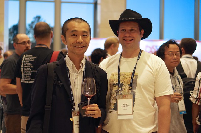
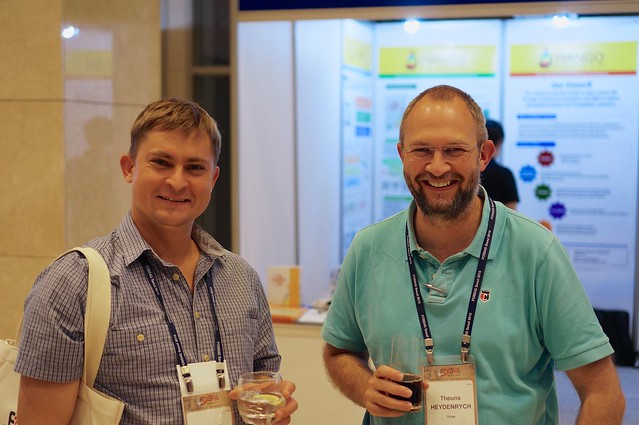
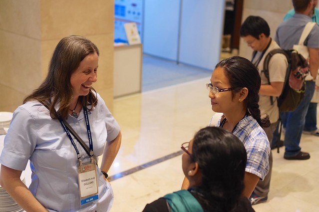
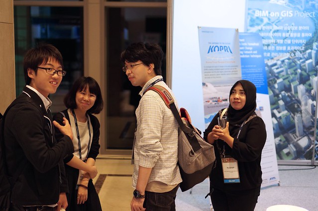
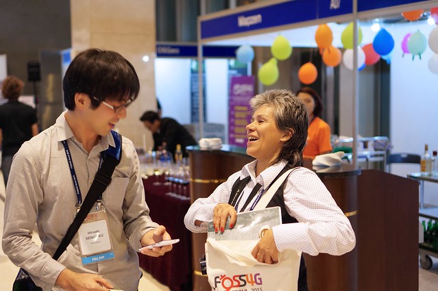
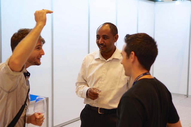
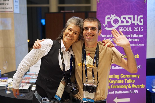
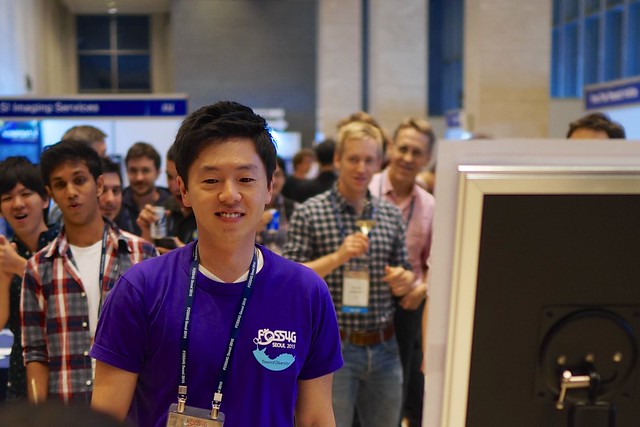
A good time was had by all, and really showcased the diversity motto for the conference!
Activites
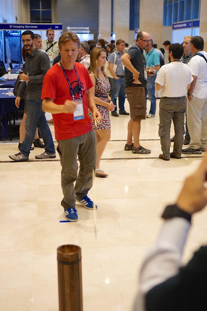
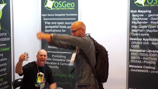
An "arrow" game was a popular hit, I expect that the bucket needed to placed due north to improve the general accuracy of the group attending.
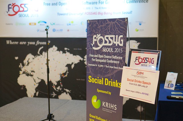
Less popular was the open mic (and loud music) near the OSGeo booth.
LocationTech BOF
A friendly gathering of developers near and far, thanks to Andrew and Eddie for organizing. Great conversations about the upcoming LocationTech (and the possibility of adding Moscow into the mix). The big news is the announcement of foss4gna location for 2016.
Retreated to another restaurant for dinner (could not imagine having German sausages in Korea?) and stumbled home - apparently missing a few other attendees in the subway (sorry!).
FOSS4G 2015
The Free and Open Source Software for Geospatial was held in Seoul, South Korea in 2015. Thanks to my Boundless colleagues for such an enjoyable week and the Open Source Community for giving us so much to celebrate with this lovely conference.

